

The Columbia River at a Confluence
Exploring the microbiome of the Columbia River at every major river tributary
The Columbia River begins its journey in the Canadian Rocky Mountains in British Columbia. Thundering over 2000 kilometers through multiple climates and biomes, the Columbia River covers a vast drainage territory consisting of soaring peaks, high, cold deserts, and lush rain forests. Representing an incredible industrialized landscape, the Columbia is home to many first nations peoples, one of the most productive modern agricultural regions of the world, and the home of the first nuclear weapon endeavors.
The Columbia River is, in many ways, at its own confluence of events. Climate change has worsened the wildfire seasons, also impacting the huge orchard and farming industry that has grown along its banks. Hydroelectric dams have irreparably changed salmon migrations. Nuclear waste threatens its waters. In a very real way, the Columbia River represent the industrialization and colonization of the western U.S. and the ways in which we have altered the natural landscape.
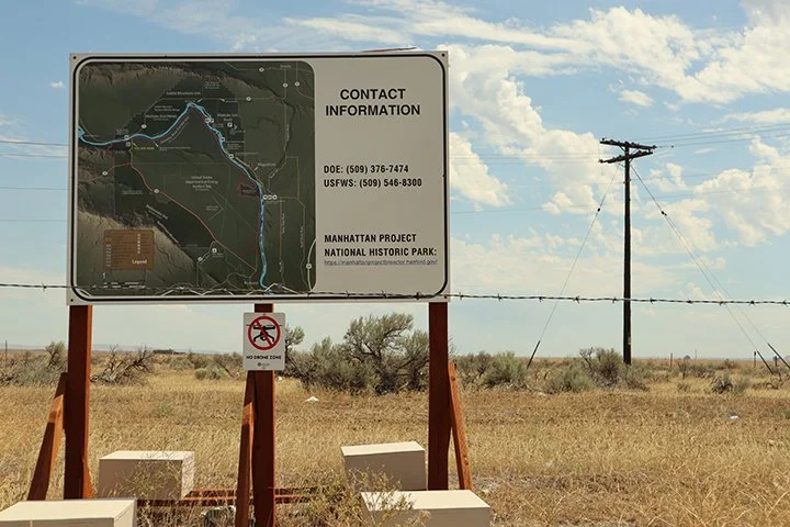
Sign containing contact information for the Manhattan Project near the Columbia River. The decommissioned Nuclear Reactor B can be seen in the distance.
Confluence Microbiomes
The Columbia River tributaries cover an area the size of France, with some contributions originating hundreds of miles away. Because of the diversity of the landscape and the intensive way the land has been changed, I wondered how the microbiome of the Columbia changed as it flowed through apple orchards, vast deserts, steep canyons, and logging forests. To study this, I have set out on collecting from the major tributaries of the Columbia, comparing the presence of microorganisms as the river flows to the Pacific. How does the microbiome change and how does it stay the same?
Hundreds of seeps, springs, creeks, and small rivers flow into the Columbia, especially west of the Cascade Mountains. It would be impossible to sample them all. To focus my sampling and collect a good cross-section of the landscape, I have used the U.S. Geological Survey as a guide to sample from each of the major contributing rivers, sampling as close to the confluence as possible.
After collecting these samples, I’ll examine them under the microscope, comparing and contrasting the samples against each other. Will the microbiome of the Columbia stay consistent or does it change depending on location? I’m curious to find out!
The first part of my project will cover the lower 1000 kilometers of the Columbia, sampling from the Wenatchee River to the Pacific Ocean. Draining from the North Cascade Mountains to the ocean, what changes will I see?

Major tributaries of the Columbia River. Map courtesy of United States Geological Survey